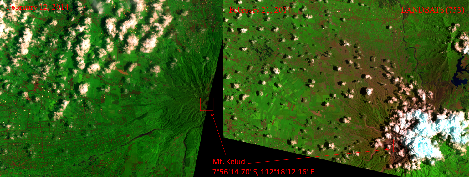


Gambar dengan resolusi maksimum (dalam format tif dan jpeg) dapat diunduh di : https://drive.google.com/folderview?id=0B-CWU8kRPN9KTHpYcGQxcGZTaTQ&usp=sharing
Tambahan :
Citra satelit resolusi tinggi dari Disaster Charter:
http://www.disasterscharter.org/web/charter/activation_details?p_r_p_1415474252_assetId=ACT-481
Post Disclaimer
The information contained in this post is for general information purposes only. The information is provided by Citra Satelit Gunung Kelud (Sebelum dan Sesudah Erupsi) and while we endeavour to keep the information up to date and correct, we make no representations or warranties of any kind, express or implied, about the completeness, accuracy, reliability, suitability or availability with respect to the website or the information, products, services, or related graphics contained on the post for any purpose.
Pak…untuk atmosfer removal itu langkah2nya seperti apa saja??