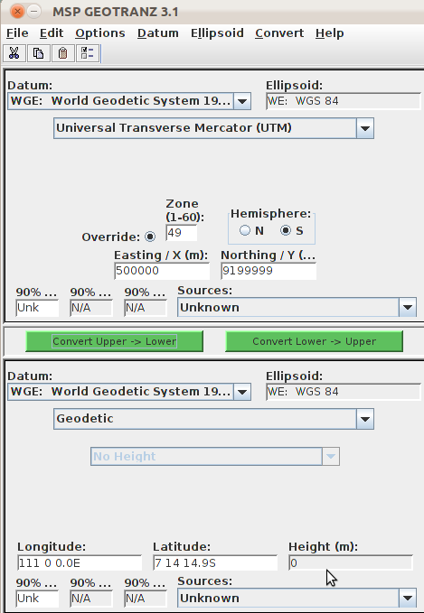
Software bernama GEOTRANS (atau dengan nama GEOTRANZ di Debian), merupakan software transformasi koordinat yang mengijinkan kita untuk melakukan konversi koordinat antar sistem koordinat, proyeksi peta dan datum yang berbeda.
Saat ini geotrans menyediakan 25 sistem koordinat, proyeksi peta dan grid berbeda dengan dukungan lebih dari 200 datum. Menariknya software ini bisa bekerja dalam lingkungan windows, linux dan unix.

Software ini dibuat oleh National Geospatial-Intelligence Agency (NGA) bekerjasama dengan U.S. Army Engineering Research and Development Center.
Post Disclaimer
The information contained in this post is for general information purposes only. The information is provided by Software Transformasi Koordinat and while we endeavour to keep the information up to date and correct, we make no representations or warranties of any kind, express or implied, about the completeness, accuracy, reliability, suitability or availability with respect to the website or the information, products, services, or related graphics contained on the post for any purpose.